You decide, we display!
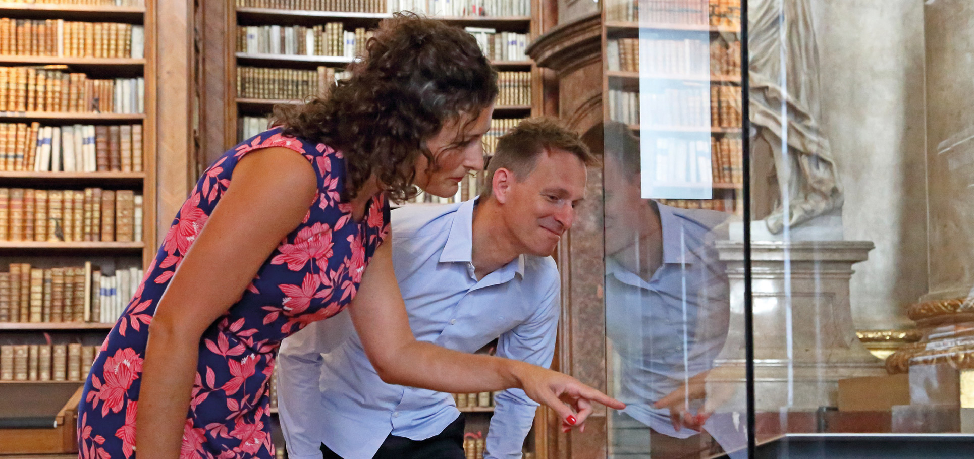
Which "Special Exhibit" do you like to see at the State Hall? Vote now! In this round three extraordinary objects from the Map Department of the Austrian National Library are available. You can vote until May 30. The winning object will probably be displayed from September 20, 2021 at the State Hall.
“Vienna, city of my dreams”
Every kind of view of the city
A global city like Vienna can be represented in many different ways: as a city map that is as accurate as possible, for use by the municipal authorities, the tax office or the military; as a relief map that shows as realistically as possible the differences in height between the Danube and the Kahlenberg; but also as an artist’s impression of the city, capturing the atmosphere and everyday life of a special place. The Map Collection has significant historical examples of all these ways of looking at the city.
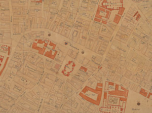
Object 1: Werner Albert Steinhausen: Plan of the City of Vienna
Map, 1719
The imperial fortress builder Werner Arnold Steinhausen carried out an exact survey of the city of Vienna in 1710, on the basis of which he produced three large, handdrawn ground plans. The copy intended for the Emperor came to the Court Library and thus into the possession of the Austrian National Library. The ground plans show an impressive accuracy for the time and can therefore be described as masterpieces of geometric plan representation. Due to the remarkable size of the map of approx. 290 x 300 cm, a special section is presented. It shows an area of the Viennese city centre around the Graben on the lower right a part of the cathedral St. Stephan can be seen, for example.

Object 2: Fritz H. Fischer: Relief Map of Vienna
Map, 1869
The geographical relief, a 3D model of parts of the earth‘s surface, originally formed by hand, underwent technological development in the second half of the 19th century. Analogous to the introduction of height layers into cartography, a method was developed to cut these height layers out of cardboard and glue them on top of each other. On the visible surfaces, segments of a map reproduced in lithography were laminated and colored by hand. Thus a three dimensional carto graphic form of expression was created on a mathematical basis. The relief of the height strata of the author H. Fischer is of special interest because it shows the city and its surroundings at the time of a striking transformation the regulation of the Danube.
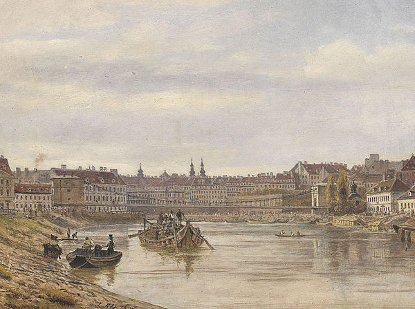
Object 3:Fritz Jakob Alt: View of Vienna with the Karlskettensteg
Graphic, 1847
The 55 views of the Danube kept in the map collection of the Austrian National Library are the models for a lithograph series entitled „Malerische Donaureise von Engelhartszell bis Wien“. Painted between 1847 and 1849, they depict the River Danube with its adjacent landscapes during the Biedermeier period. The last picture in the series shows the view of Vienna from the Danube Canal, with the towers of St. Stephen and the Jesuit and Dominican churches. A series of boats and barges underlines the great importance of the Danube in terms of the transport of food and goods for the royal seat of Vienna.


Your vote counts!
You decide: Vote here for your favourite object!
Only one vote per IP address possible.